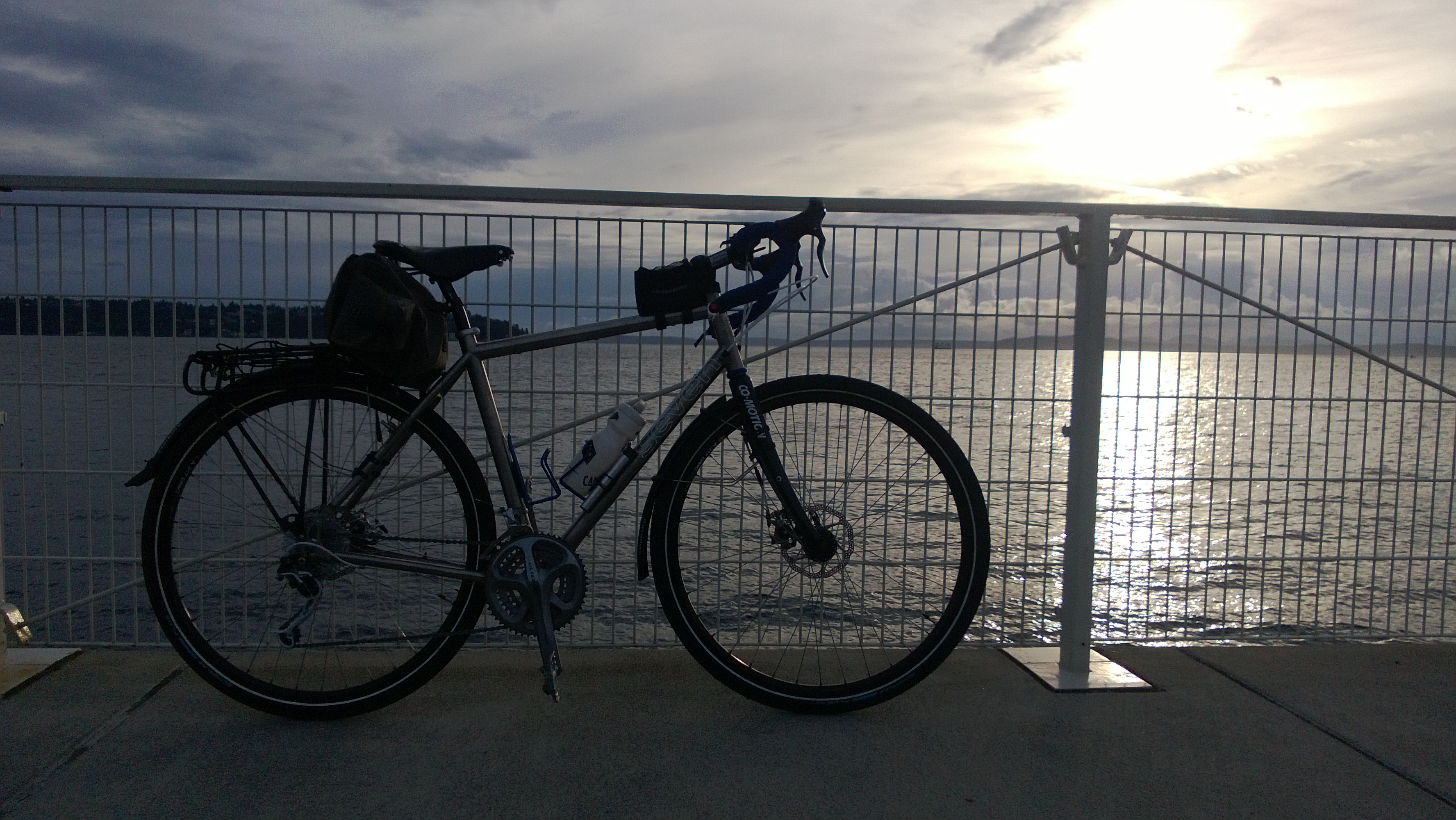
Last year I set about replacing my well-traveled Kona Sutra. Having decided to sell off our extra vehicles (we went from 2 cars and a motorcycle down to a single car), M and figured that we should celebrate with new bicycles.
Last year I set about replacing my well-traveled Kona Sutra. Having decided to sell off our extra vehicles (we went from 2 cars and a motorcycle down to a single car), M and figured that we should celebrate with new bicycles.
Mid-June of this year (yes, it has been a while…) Seamus and I took off on a man’s overnight backpacking trip along the Yakima Rim Skyline Trail. It’s a loop trip that covers about 19 miles with about 2,100 feet elevation gain. The weekend we went it was hot hot hot, and since it’s pretty much a desert hike exposed to the sun the entire time, we had a scorching good time.

First, let me say that I highly recommend a ‘high-clearance vehicle’ to get to this hike. The Buick is not one of those. Let’s just say she made it, but I wouldn’t do it again. Fording streams in a LeSabre is never a good idea. Neither is rock climbing. :/
We camped at the North trailhead of the Skyline trail on Friday night, which was beautiful if not windy. Make sure to bring plenty of water with you if you do this, because you’ll need enough both that night and the next day’s hike since there’s literally no water along the trail. From the bluff, you’ll have a great view of Ellensburg’s city lights which was really quite pretty.

On Saturday, we set out for our 11-12 hike. This hike is mostly downhill – dropping about 2,000ft. Hiking poles are nice to have. We headed down the Skyline Trail until we got to the Rosa Road – by the time we got there, we were both parched and the pooch needed a break. We headed toward the Yakima River, crossed the railroad tracks, pumped some water and found a beautiful tree to relax and lunch under while the dog recovered. After a short rest, I dragged (literally) Seamus another 2.3 miles to our campsight for the night, the fabled “Birdsong Tree”. I wasn’t quite sure what I’d be looking for… but it turns out it’s hard to miss. It’s the only campsight along the over-grown road. There’s a very nice underground stream where you can get good water. Seamus collapsed. I enjoyed my whiskey and Mountain House. Everyone was happy.

The next morning, Seamus awoke to the plethora of birds (including Woodpeckers, which he hates!) – so we were up and out of camp by 6:30am. This was a good, good thing given the heat and the exposure to the sun on the ~9mile trip back to the car. There’s not much to speak of about the hike out. It was hot. There wasn’t much to see along the 2,000 ft assent home. But the challenge was nice.

Related: the ticks were incredibly thick. I really wish the dog had a tick collar or some Frontline before this trip – yikes, it was bad.
This was a great weekend hike – it’s a 15 mile loop (if you include the 2 mile side trip to Lake Ann). We chose to hike counter-clock-wise so we could get the bulk of the distance (and elevation!) in on the first day. All together, we had a total assent of 3,600 feet over the two days (we started at 3,900 ft and reached the peak at Lake Ann around 6,500 ft).
The trail was nice – clear with no snow. The bugs were out but not that bad. The views were spectacular – from Lake Ann, we could see both Mount Baker and Mount Rainer! It was awesome.

Day 1 – De Roux to Gallagher Head Lake via Lake Ann
Day 2 – Gallagher Head Lake to De Roux
Leaving De Roux Camp Ground, it’s a bit tricky to find the unmarked horse trail that parallels road 9737 going north. This trail heads about two miles north following the North Fork Teanaway River to the parking lot which was packed with day-hiker cars. From the parking lot to Lake Ann is hard to miss – just follow the day hikers who are in it for the spectacular view at the top. We passed a few campgrounds that we’d like to try out if we do this trip again, particularly near the spur trail that leads out to the Lake Ann overlook.
After lunching at Lake Ann, we made our way down (and up!) to Gallagher Head Lake where we had to jockey for space with the Jeep/4×4 crowd. It wasn’t bad – just disappointing to work so hard to get somewhere that other people can drive to! But we found a secluded-enough camp ground and tucked in for the night.
The hike out in the morning was down, down, down hill for 5 miles back to the cars.