Prescott, AZ to Wickenburg, AZ
Date: 01/09/2013
Distance traveled: 68.02 miles (433.15 miles total)
GPS tracks: http://connect.garmin.com/activity/260277151
After spending a lazy morning at Ruth & Ben’s place waiting for the temperature to get above freezing, I finally got all of my gear on and headed out the door around 10:30am. Right off the bat there was a good climb out of Prescott on Iron Springs road that had me shedding a top layer and the thick gloves, but that didn’t last long… soon I was up over 6,000ft and I started my fun day of coasting down massive hills. Winter gloves and windbreaker required!
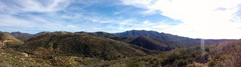
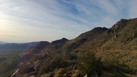
Scenic day – overlooking what I believe is the Prescott National Forest
My route today followed Iron Springs road through Skull Valley, on to Kirkland, and then onto highway 89 almost all the way to Wickenburg. Most of the roads were good to bike on, despite 70% of the route having zero shoulder. The only place where that is really a problem is on 89 which is pretty well traveled, particularly the last 10-15 miles between Congress and where it joins up with 91. In short, I wouldn’t recommend this ride except for HOW AWESOME THE DOWNHILL WAS!
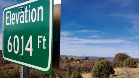
At the highest point I was at 6,100ft – I ended the day at 2,300ft! You can imagine what some of those downhill sections were like! The best part was that all of the good downhill was also on really good road, so it felt good to fly. My top speed today was 41MPH. It was a blast.
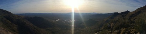
Flying down the from Yarnell on Highway 89.
Despite this massive elevation drop I still managed to ascend over 3,000ft today. Not a bad for an off-route bonus mileage day.
Tonight I stayed at the Aztec RV park. It was probably the worst night of sleep I’ve had yet – the RV park is right along a major road, and there was an active railway that had trains coming through about every 2 hours or so. Lots of trucks in & out of the park early in the morning as folks went to work. And a garbage truck at 6am. I would have been better off at a hotel. At least I saved $60. :)
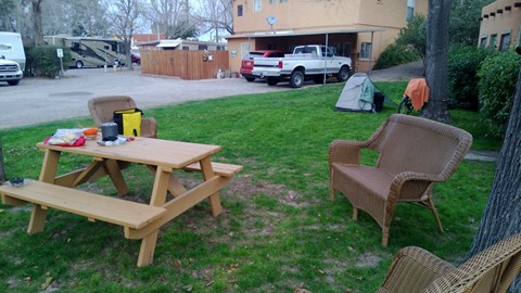
My campsite for the night. You can see the McDonalds across the road in the distance.
Some other pictures from the day:
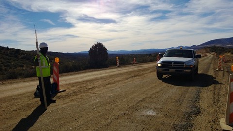
A 2 mile stretch of Iron Springs road is under construction. It was a bit muddy.
Last major downhill of the day coming out of Yarnell.
Looking down the hill toward Wickenburg.