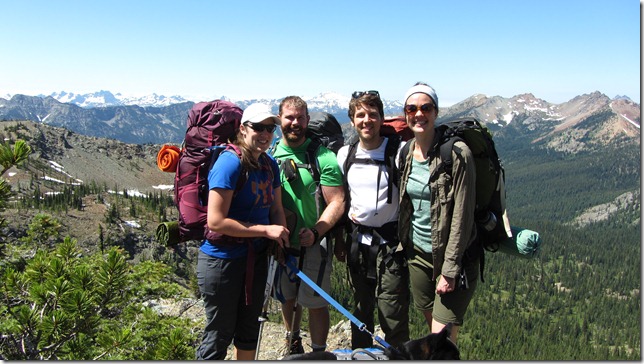
This was a great weekend hike – it’s a 15 mile loop (if you include the 2 mile side trip to Lake Ann). We chose to hike counter-clock-wise so we could get the bulk of the distance (and elevation!) in on the first day. All together, we had a total assent of 3,600 feet over the two days (we started at 3,900 ft and reached the peak at Lake Ann around 6,500 ft).
The trail was nice – clear with no snow. The bugs were out but not that bad. The views were spectacular – from Lake Ann, we could see both Mount Baker and Mount Rainer! It was awesome.
Day 1 – De Roux to Gallagher Head Lake via Lake Ann
Day 2 – Gallagher Head Lake to De Roux
Leaving De Roux Camp Ground, it’s a bit tricky to find the unmarked horse trail that parallels road 9737 going north. This trail heads about two miles north following the North Fork Teanaway River to the parking lot which was packed with day-hiker cars. From the parking lot to Lake Ann is hard to miss – just follow the day hikers who are in it for the spectacular view at the top. We passed a few campgrounds that we’d like to try out if we do this trip again, particularly near the spur trail that leads out to the Lake Ann overlook.
After lunching at Lake Ann, we made our way down (and up!) to Gallagher Head Lake where we had to jockey for space with the Jeep/4×4 crowd. It wasn’t bad – just disappointing to work so hard to get somewhere that other people can drive to! But we found a secluded-enough camp ground and tucked in for the night.
The hike out in the morning was down, down, down hill for 5 miles back to the cars.
